parks

Okanagan Mountain Provincial Park

2019-10-19-Naramata-Okanagan-Mountain-Provincial-Park-234.jpg

For more information, visit BC Parks

Above the lakeshore are over 10,000 hectares of rugged landscape with mountain lakes, grasslands and spruce-fir forests accessible only on foot, horseback or bicycle. Trails and rustic campsites are the only facilities in this area of the wilderness. A wonderful setting for hikers – a climb to the top of Okanagan Mountain will lead you to beautiful scenic lake views to the west and the Monashee Mountains to the east.

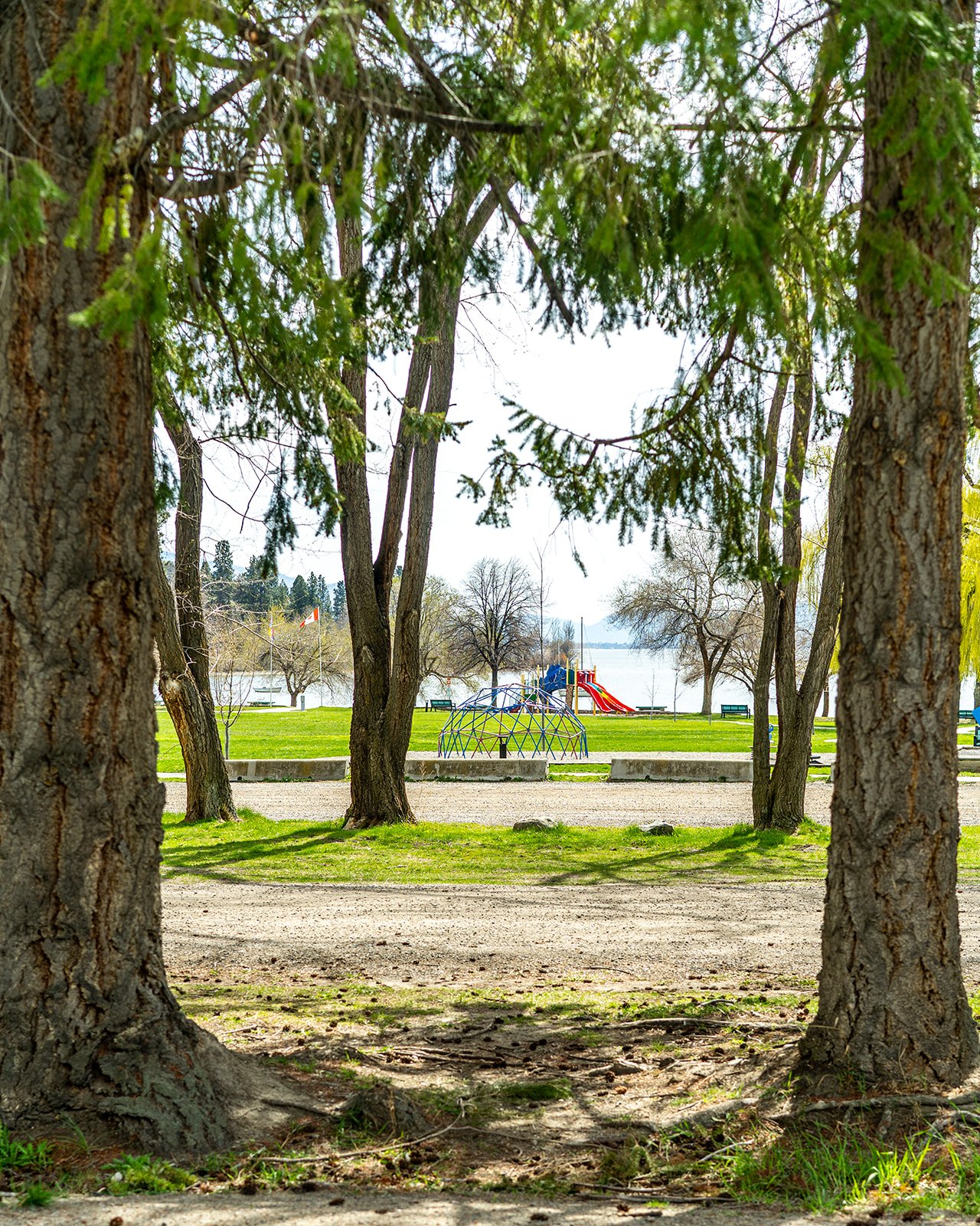
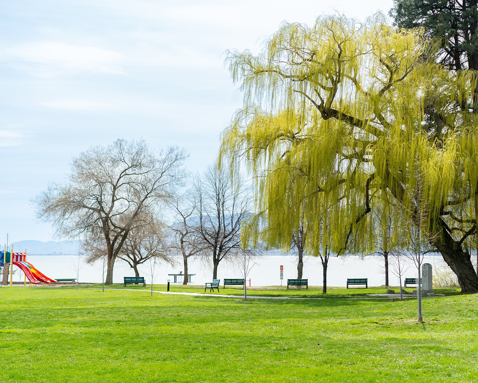
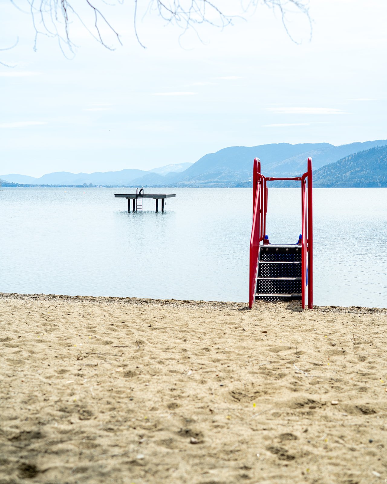
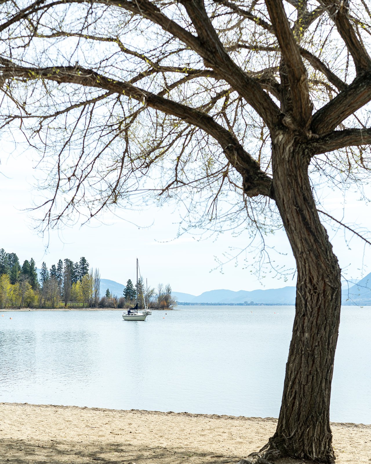
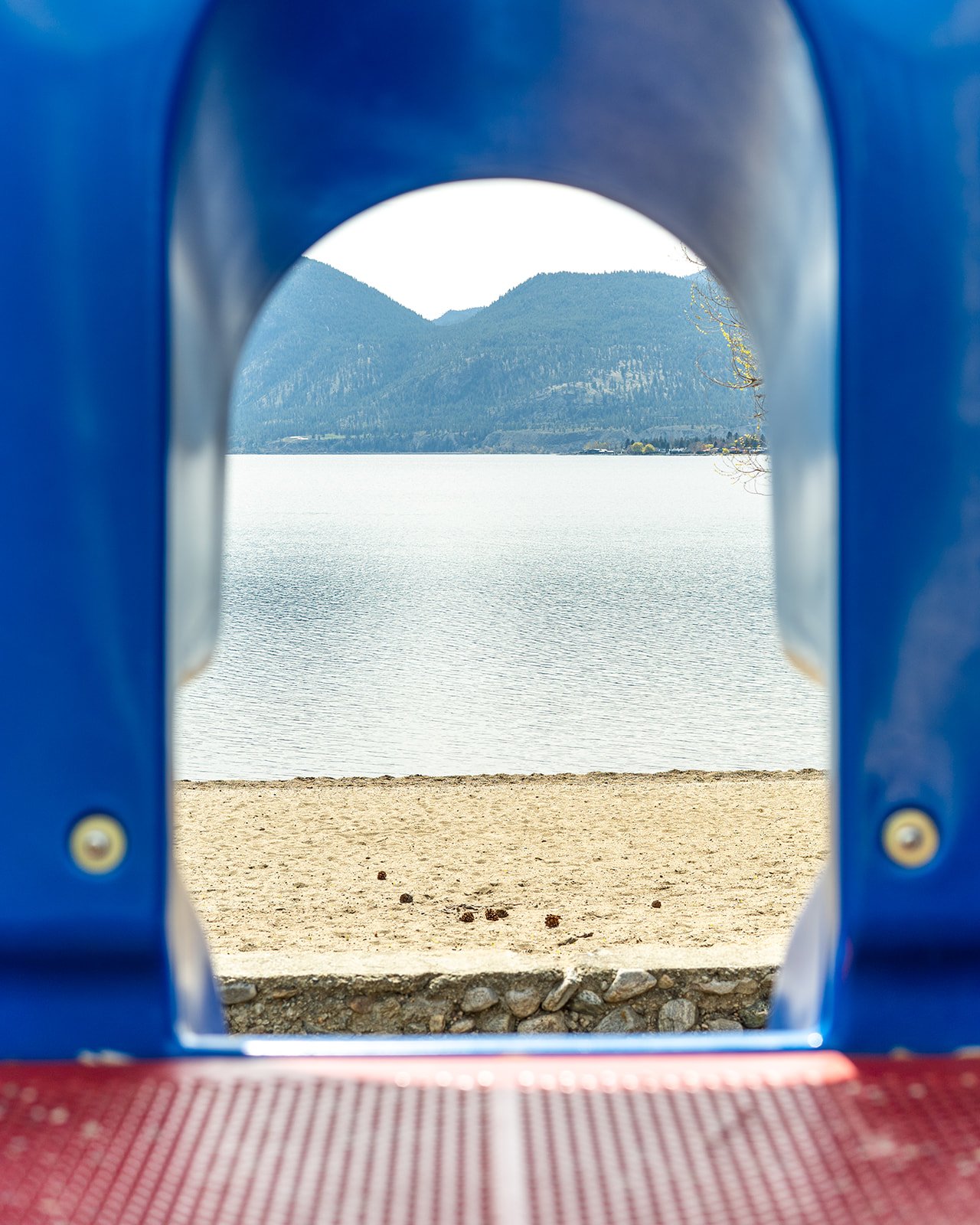
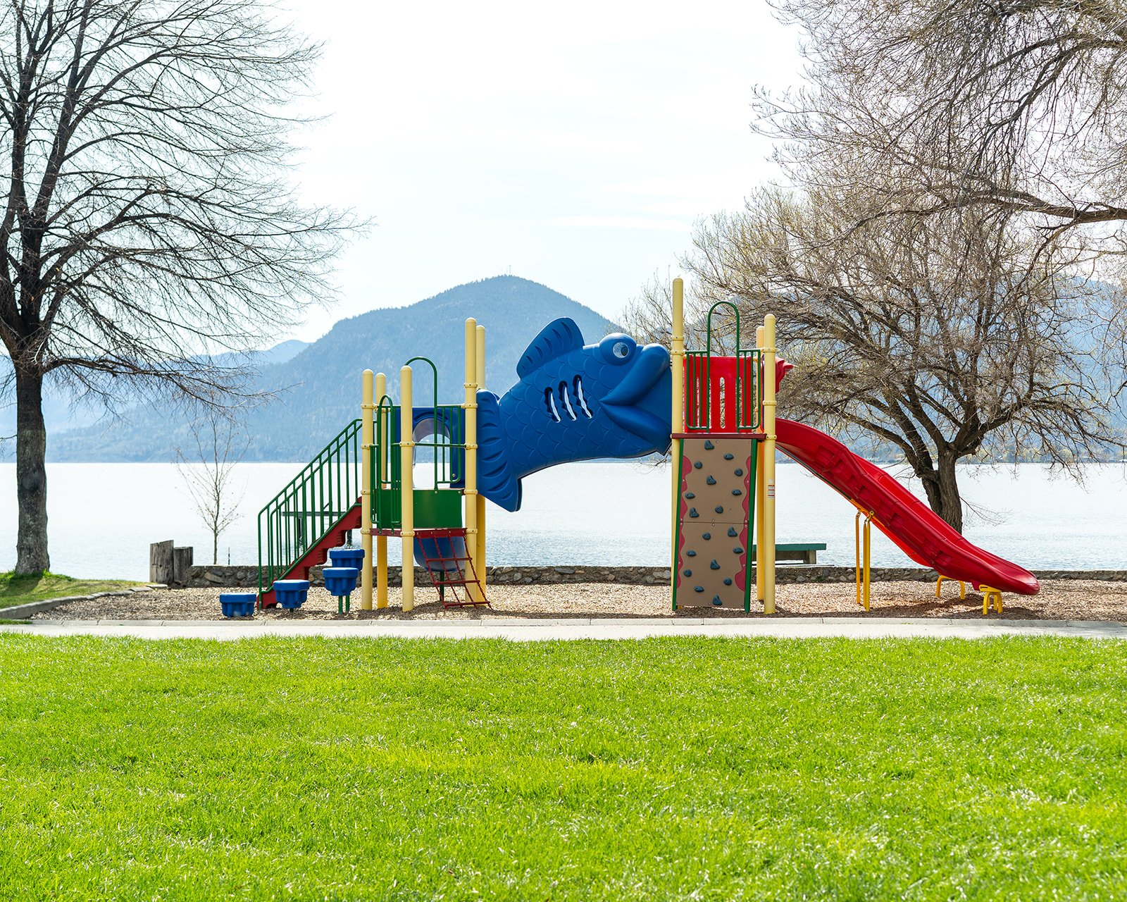
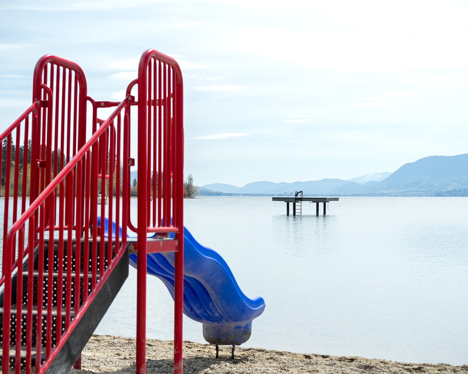
A boater’s paradise, this wilderness park dominates the east side of Okanagan Lake between Kelowna and Penticton. Six marine campgrounds and secluded bays and sheltered sandy beaches tucked into the 33 km of undeveloped shoreline make water exploring a true adventure.

The colourful history of the Okanagan Valley is very evident in the park. There are archaeological sites and provincially significant First Nations pictographs found on rock outcrops and canyon walls. At one time, the local Salish Indians used Wild Horse Canyon as a wild-horse trap. Good’s Creek Canyon Trail was named for Dave Good, supplier of survey crews for the Kettle Valley Railway, built in 1915. Commando Bay was used to secretly train Chinese-Canadians for guerrilla warfare in 1944, during World War II.

The park is a representative example of the Okanagan Basin and Okanagan Highlands. The terrain ranges from the deeply incised melt water channels of Good Creek and Wildhorse Canyon to the 1579m high Okanagan Mountain with spectacular examples of heavily glaciated rock terrain including classic rock drumlins, grooves, flutes and striations. The park encompasses ecosystems from three different biogeoclimatic zones: the bunchgrass zone in some of the lower but more exposed areas, the ponderosa pine zone in much of the lower elevations and the interior Douglas fir zone on the upper mountain reaches. Significant old growth Ponderosa pine, Douglas fir, Lodgepole pine and Engelmann spruce covers more than 2500 hectares. The park’s plant life represents the influence of both the dry southern and wetter northern climates. The park protects a significant portion of undeveloped lakeshore along Okanagan Lake.

The rugged rocky terrain is habitat for mountain goats. White-tailed deer, moose, elk, lynx, marten, coyote are also found in the park. Small but very important species are the blue listed Western harvest mouse, Nuttall’s cottontail (the furthest northerly occurrence) and Spotted bat. The Northern alligator lizard and Western skink can be found under rocks or bark in open wooded areas while the Yellow-bellied racer prefers grasslands and open fields. Blue listed reptile species found in the park include Western painted turtle, Rubber boa, Gopher snake, Western blue racer and Western rattlesnake. The park protects habitat for five blue and two red listed bird species including the Western grebe and Whiteheaded woodpecker.

Naramata Creek Park Waterfall

YellowCreekParkBridge-HDR.jpg

The Naramata Creek Park hiking trail follows Naramata Creek up through a deep river canyon to a cascading waterfall. The hike is about 2.4 km, round trip, and takes about an hour or so. The towering rock slabs, trees and trickling creek help keep the gully cool, even on the most sweltering of Okanagan days. The trail is lovely year round, and worth visiting regularly to witness the changes that each season brings.

There’s an outhouse at the trailhead, several well maintained bridges, a bench and picnic tables along the first section of the trail. The trail is packed dirt with some rocks and roots jutting out. *Watch out for poison ivy

Directions

Naramata’s Creek Park is located north of Penticton, BC on the east side of Okanagan Lake. To get there drive north towards Naramata and just before swerving left down into the small town of Naramata look for a narrow, easy to overlook, road on the right side. There is a bus stop and park signage at the end of the road. The entrance to the park is very easy to miss unless you know what to look for.

Rock Ovens Regional Park

2014-05-21-KVR_WoodwackerTrail_Papa_Dad-451.jpg

Rock Oven Regional Park is a collection of stone and rock ovens built between 1911 and 1915 located on the Kettle Valley Rail Trail (KVR). The park is a collection of hiking trails leading to 10+ rock ovens which were built by the immigrant workers while building the Kettle Valley Railway. The rock ovens served as ovens to bake bread and feed the workers.


Wharf Park - Train Docks

traindockssunset-16.jpg

This is the original site of the old Train Dock at Mill Bay that was the port for the Naramata fruit co-op packinghouse. Many locals and summer visitors alike will have fond memories (and probably a few scars!) from plunging off the old train docks into the water below. And although the new wharf is somewhat smaller, there’s still a ladder to help you back up from all those fancy dives. If you care for a stroll, be sure to take a rest on one of the many park benches taking in the serenity of Okanagan Lake.


Manitou Park and Beach

Naramata’s Manitou Park and Beach is a popular destination for locals and visitors alike. The park offers a white sand beach with plenty of shade trees right near the water. Washrooms and change rooms are available. It also offers a baseball diamond, a volleyball court, two kids playgrounds, a swim dock and picnic tables.

To get there, follow Naramata Road and take a left on Robinson Avenue to take you towards the town’s centre. When you arrive into Naramata, take a left on 4th Street and this road will take you directly to Manitou Beach and Park as well as a boat launch.

New for 2021: Manitou Park now has a brand new washroom building, with 6 individual single-occupancy washroom rooms, and a separate change room. There is also an outdoor shower, and water fountain/bottle filler.

A paved path now encircles the perimeter, allowing for accessible travel throughout the park and down to the beach.